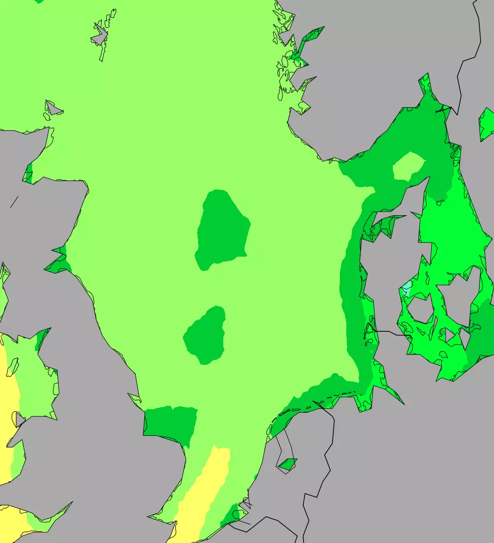
North Sea Water Temperature
The North Sea lies between the east coast of Great Britain and continental Europe. As such the sea is host to some of the continents most important shipping lanes. It is also a rich fishing ground. Consequently, many of Europe's largest ports and harbours are located around the edges of the North Sea, along with many industrial towns and cities.
Running south to north from the coast of France to the Orkney Islands the North Sea stretches for around 970 kilometres (600 mi) which gives some variation in temperatures throughout the year.
As a reasonably small body of water with a depth rarely exceeding 90 metres (300ft) the water temperature of the North Sea is more influenced by ambient air temperatures than larger seas. Unsurprisingly the sea is colder in the northern extremes of the sea where temperatures reach an average low of around 6 °C (43 °F). The warmest summer temperatures are seen to the south and can regularly reach 18 °C (64 °F) in August.
Average water temperatures in the North Sea
| Calais (FR) | Bergen (NO) | Tynemouth (GB) | ||||
|---|---|---|---|---|---|---|
| °C | °F | °C | °F | °C | °F | |
| January | 8.1 | 46.6 | 6.3 | 43.3 | 7.3 | 45.1 |
| February | 8.1 | 46.6 | 5.6 | 42.1 | 6.7 | 44.1 |
| March | 7.7 | 45.9 | 4.9 | 40.8 | 6.7 | 44.1 |
| April | 9.5 | 49.1 | 6.2 | 43.2 | 7.9 | 46.2 |
| May | 11.8 | 53.2 | 8.8 | 47.8 | 9.6 | 49.3 |
| June | 14.2 | 57.6 | 12.1 | 53.8 | 12.5 | 54.5 |
| July | 16.2 | 61.2 | 14.4 | 57.9 | 14.9 | 58.8 |
| August | 17.8 | 64 | 15.4 | 59.7 | 15.3 | 59.5 |
| September | 17.8 | 64 | 14.3 | 57.7 | 14.5 | 58.1 |
| October | 16.3 | 61.3 | 11.9 | 53.4 | 12.6 | 54.7 |
| November | 14.2 | 57.6 | 10.1 | 50.2 | 10.9 | 51.6 |
| December | 11.2 | 52.2 | 8.1 | 46.6 | 9.1 | 48.4 |